
Find Monroe Neighbors by Block
The strongest block search starts by defining the physical block. A parcel polygon, street centerline, municipal boundary, and legal description can show which pieces of land touch or sit nearby. The owner field from a parcel card is public-record evidence about ownership or taxation, not a roll of all people at the address. Historic directories and local civic sources can contribute dated context, but they should not be treated as present-day member lists.
| Source | What it shows about a block | Access |
|---|---|---|
| County GIS parcel layer | Parcel polygons, streets, ZIP, municipality and geographic layers | Public ArcGIS viewer; assessment update biannually notice; not legal survey. |
| BS&A parcel search | Each selected parcel’s owner/tax/sales/legal fields | Address/name/parcel search; no confirmed street-wide export. |
| Deed index | Ownership transfers and legal-description continuity among parcels | Fidlar name/legal/address options; name index 1981; paid images/remote access. |
| QVF/MVIC | Registration status/address for lawful individual/file request; not an open household roster | Public with protected-field exclusions; full file via Bureau form. |
| City permits/zoning | Construction, inspection, site-plan, applicant/owner/address timeline | Forms online; address archive not public-searchable; counter/FOIA fallback. |
| Historic directories | Past occupants/businesses in street/house-number order | MCLS/GSMC/Library of Michigan print, microfilm, digitized/licensed routes. |
| Newspapers/obituaries | Announcements, residents, deaths, civic/church/school links | Monroe archive, MCLS, GSMC; OCR and completeness limits. |
| Historic maps/atlases | Ward, lot, building, street and landowner context | LOC, UM, MCLS/GSMC, Library of Michigan; dates in research collections. |
| Neighborhood Services | Official city neighborhood-program links and contacts | City route; no member directory located. |
| Historic District Commission | Preservation districts, survey, and meeting context | Public commission page/packets; an exact address index was not located. |
People shown in these sources can be owners, registered voters, historical occupants, or people with no public listing at all. The table keeps those categories apart. It also shows why an address that produces a result in one database may produce no result in another without proving that anyone has moved or that a record is wrong.
Map Monroe Neighbor Parcels
The Monroe County Parcel Viewer is the starting point for the map portion of a neighbor lookup. It includes parcel boundaries, municipality and township lines, ZIP codes, centerlines, roads, buildings, water, parks, trails, railroad, and topographic context. The research did not verify a public block button, radius roster, or guaranteed CSV export. Use visible parcel attributes rather than assuming an app control that was not confirmed.
- Find the street on the map through a centerline or an available address search, then turn on parcel boundaries.
- Click the target polygon and record its parcel ID, legal description, situs, and jurisdiction context.
- Click each touching or nearby polygon separately. Note its physical relationship instead of naming a presumed household.
- Move each parcel ID to BS&A for the available owner, tax, sale, and legal fields.
- Use the deed index only after a party name or matching legal description ties the instrument to that parcel.
A road, alley, river, railroad, parcel gap, or municipal line can separate lots that look close on screen. For the longer name-to-address-to-deed chain across a named road, use the Monroe street directory rather than treating a block map as a whole-street record.
Monroe Neighbor Boundaries Need Checking
A Monroe mailing address or ZIP is not proof that a parcel lies within the City of Monroe. ZIPs 48161 and 48162 serve the city and portions of nearby townships. A nearby parcel can therefore share a postal label while falling under a different municipal or township jurisdiction. Use the county viewer’s municipality layer and the parcel’s legal description before routing a property, permit, or civic-record question.
Keep the situs address, mailing address, ZIP, municipality, parcel number, and legal description as separate fields. That recordkeeping step is also useful for old maps and deeds, where a French Claim or other historic description along the River Raisin may not resemble a modern street address. A parcel identifier is a stronger bridge than an assumed neighborhood name.
Read Monroe Neighbor Parcel Cards
The Monroe BS&A property and tax search accepts Address, Name, and Parcel Number. It separates detailed record, current tax, delinquent tax, and assessing routes. A parcel card may display a combination of ownership, mailing and situs context, legal description, values, zoning, acreage, lot dimensions, assessment classification, and sales details. The live field order and availability can vary, so check the current card before recording a result.
| Parcel number | The bridge between the map, assessment record, and a matching property trail. |
|---|---|
| Situs address | The physical location used for mapping, permits, zoning, and local jurisdiction. |
| Mailing address | Tax correspondence destination, which can differ from the situs and does not prove residence. |
| Legal description | Lot, block, subdivision, French Claim, or metes-and-bounds identity used to confirm the parcel. |
| Sale fields | Sale date, price, instrument, grantor, grantee, terms, and Liber/Page when displayed. |
| Assessment fields | Values, classifications, zoning, and related property information, not a household list. |
Compare the situs, legal description, and parcel number before reading an owner name as relevant to nearby parcels. A homestead or PRE classification can support an owner-occupancy inference, but it is still tax evidence. It does not disclose every private occupant, and a different mailing address may belong to an owner or entity outside the block.
Note: Assessment information is useful for a parcel comparison, but the county viewer is not a legal boundary survey and the card is not a census.
Monroe Block Deed Transfers
Recorded deeds can place a parcel in a dated ownership chain. The Fidlar Direct Search offers Party Name, date, document, Book, Page, Reference Number, Address, Subdivision, Parcel, Municipality, and Tract paths. The county’s online name index begins January 1, 1981, while Laredo access is described from 1976. Older books and indexes require county or historical-repository follow-up. These dates are access layers, not a claim that all instrument images are free or visible online.
For a Monroe neighbor parcel, use BS&A or the GIS viewer to obtain a current owner and legal description. Search the current grantee with an approximate year, read the grantor and description, then search the seller as a prior grantee. Confirm the lot, block, parcel, or predecessor tract at each step. A deed is a title event, not proof that every person associated with a household arrived or left on the recording date.
Monroe Block Voter Records
The Michigan Voter Information Center is an individual public information route for registration, polling, ballot, and clerk information. It is not an open block roster. A broader Qualified Voter File request uses defined geography such as county, jurisdiction, district, school, ward, or precinct. A street name, parcel, and ZIP do not create a confirmed public block-list option.
Michigan voter-registration records are public through FOIA but omit sensitive information, including driver-license or state-ID numbers, month and day of birth, phone, email, digitized signatures, receiving-office information, and declined-registration records. The state QVF data-request form identifies the request geography, permitted fields, and delivery choices. Registration evidence can support a limited record question. It cannot establish the full composition of a nearby parcel.
Monroe Permit Files Add Block Context
City permit and zoning files can add a useful property timeline for a Monroe block. The Building Division handles building, plumbing, mechanical, electrical, sign, zoning-compliance, temporary-use, contractor-registration, certificate-of-occupancy, and inspection work. A preserved record can contain an address, applicant or owner, work description, inspection date, or certificate information. The city’s online forms do not provide a verified public address-search archive.
See the City of Monroe permits and forms route for the office path before requesting a narrow address file. The Building Division can be reached at 734-384-9186. Planning and Zoning packets may add site-plan, zoning, or board-decision context. For a non-posted record, specify the address and date range in a city FOIA request instead of asking for an undefined neighborhood file.
The city’s permits and forms page identifies the official routing for address-history records.
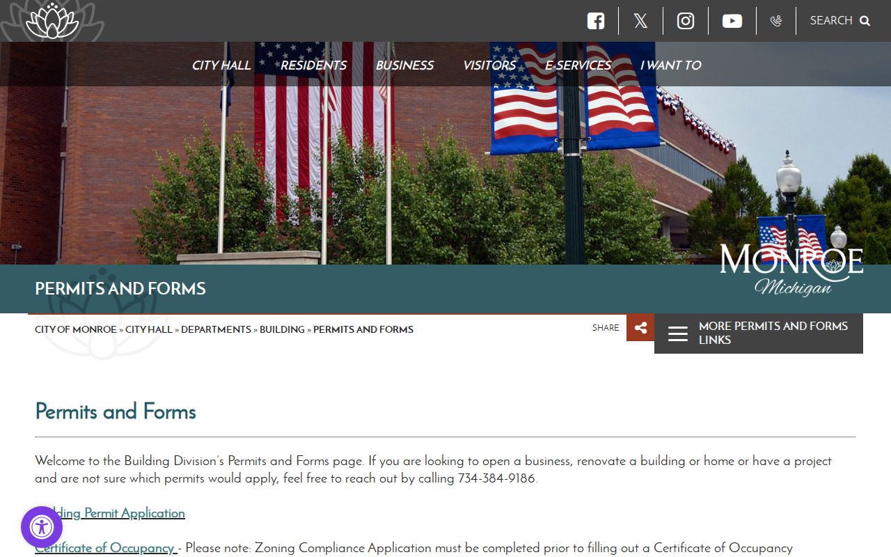
A permit page supplies a way to reach the responsible division. It does not establish that the forms themselves are a searchable archive of every block record.
Neighborhood Services for Monroe Neighbors
Monroe’s Neighborhood Services division is the official civic contact for neighborhood-program information. The division coordinates with residents, businesses, organizations, developers, officials, and city staff. It is not a directory of people who live on a block. The city page links neighborhood-program materials and Mason Run, but research did not locate a public current member or phone list for neighborhood groups.
Neighborhood Services
City of Monroe
120 E First Street
Monroe, MI 48161
734-384-9193
Mason Run Neighborhood
City of Monroe
Official program route through Neighborhood Services
No public member directory located
734-384-9193
Use the City of Monroe Neighborhood Services page for the program contact and Mason Run link.
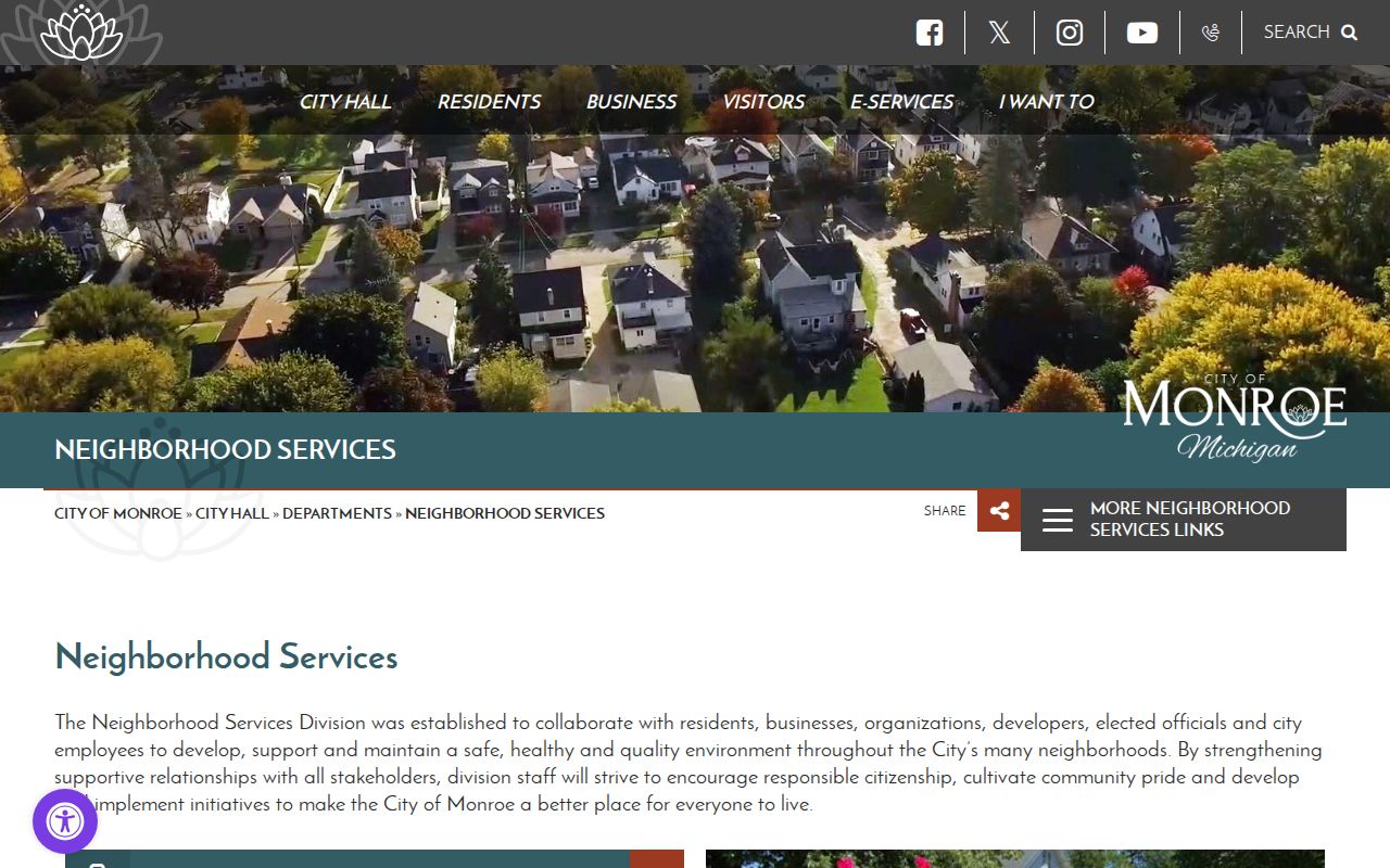
The official contact route can clarify a program or planning question, while the absence of a public membership list remains an important privacy boundary.
Mason Run and Monroe Associations
Mason Run is the named neighborhood link identified through the city’s Neighborhood Services route. The Orchard East Neighborhood Plan is another official city planning and geography source. Neither is a substitute for a resident roster. Research did not locate a verified current citywide directory of neighborhood associations, block clubs, private groups, congregation lists, or association members. Do not infer group membership from a parcel, a map, or a mailing city.
- Mason Run Neighborhood: a named city neighborhood link. Use Neighborhood Services for official program information; no public member or phone directory was located.
- Orchard East Neighborhood Plan: a city planning and geography document, not a private household roll.
- Neighborhood associations: no verified current official citywide member directory was located in the research.
- Historic community sources: MCLS and GSMC hold historical church, school, cemetery, map, and yearbook material, not current membership rosters.
For past relationships, a Monroe directory, yearbook, obituary, cemetery index, church record, or newspaper can offer dated evidence. The Monroe County Library System and Genealogical Society collections should be read as historical sources with their own omissions, not as proof of current residents.
Historic Context for Monroe Blocks
Historic district records add building and neighborhood context without identifying current people. The City of Monroe’s 1978 survey identified 3,352 buildings and structures and nearly 100 pre-1930 sites. Three nationally recognized historic districts were established in 1998. Commission packets and meeting records can help establish an address-era preservation question, while maps and atlases can show a street, lot, building footprint, or landowner context at a particular date.
Open the Monroe Historic District Commission page for the public preservation route and meeting context.
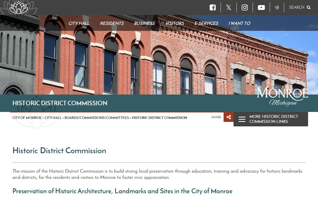
Historic district material helps explain a parcel’s setting and era. It is not a current neighbor list, and no exact public address-level index was confirmed for every commission record.
Note: Map, directory, and preservation evidence should retain its date because a block can change long before a current parcel record is updated.
Privacy Limits on Monroe Neighbor Records
Official Monroe neighbors records have firm limits. Parcel and deed records can show an owner or entity. Voter data has statutory redactions and protected fields. Private utility, delivery, and motor-vehicle data are not ordinary public block sources. Michigan’s Address Confidentiality Program can provide a designated address and mail-forwarding channel for eligible people at risk. An absent or replaced ordinary address is not a signal to search harder or rebuild a protected location from other data.
| Official record route | Commercial neighbor-lookup category | Practical difference |
|---|---|---|
| Parcel, deed, permit, voter, and historic records are held by identified custodians. | Commercial services can combine public, marketing, address, and inferred relationship data. | Check the exact official source for date, field limits, and correction path. |
| Each official source documents a narrow function and often omits protected data. | Commercial results may be stale, conflate same-name people, or infer a relationship. | Do not label a household from a mixed-data result. |
| Corrections go to the assessor, recorder, clerk, court, or other custodian. | Removal requests may require profile matching and later rechecks. | Removing a commercial profile does not delete the underlying public record. |
For a record error, contact the source custodian with the parcel, instrument, case, or request identifier and supporting facts. For an Address Confidentiality Program question, use the Michigan Attorney General’s ACP information rather than attempting to expose a protected address.